The col des Bagenelles pass
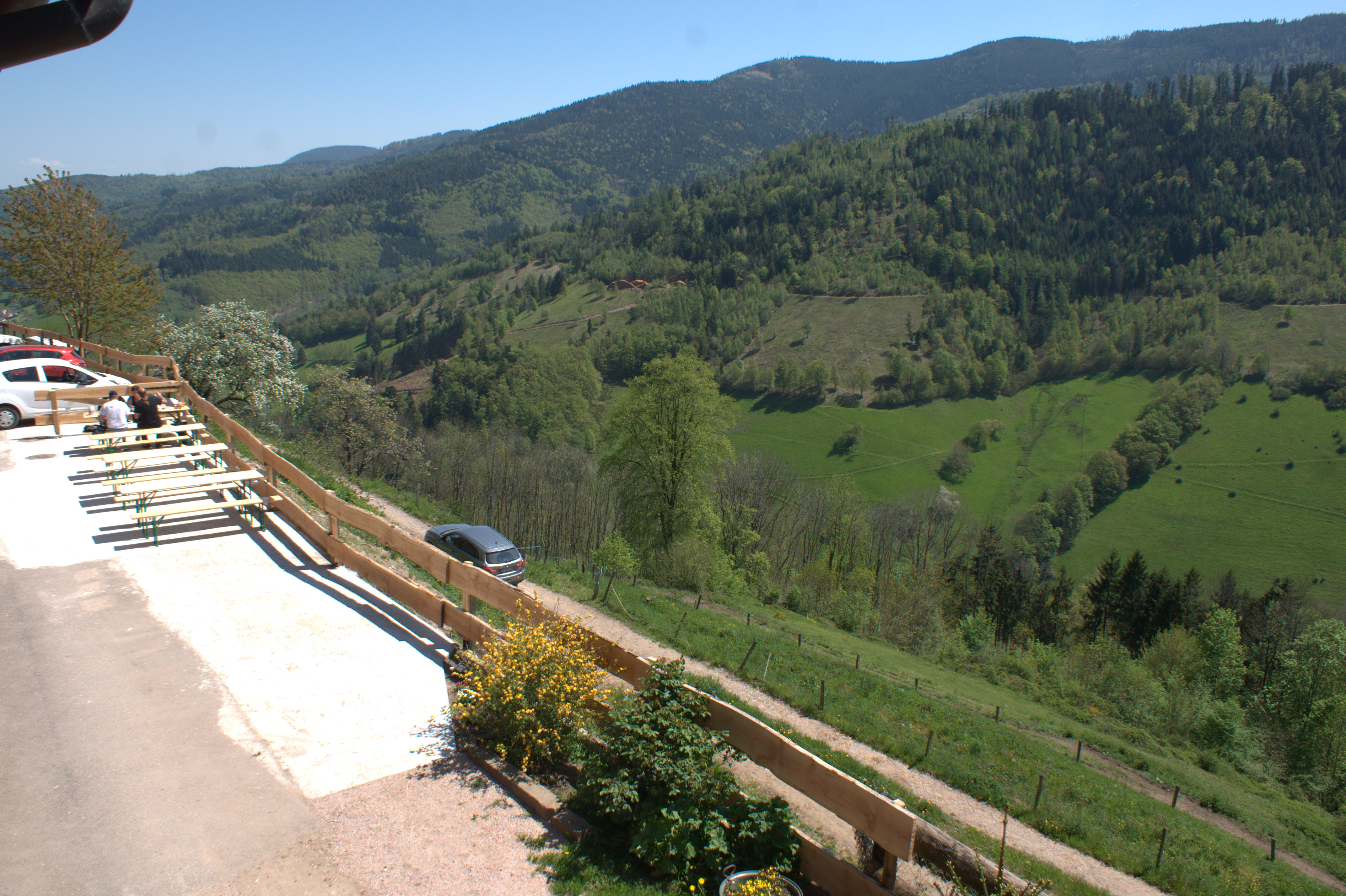
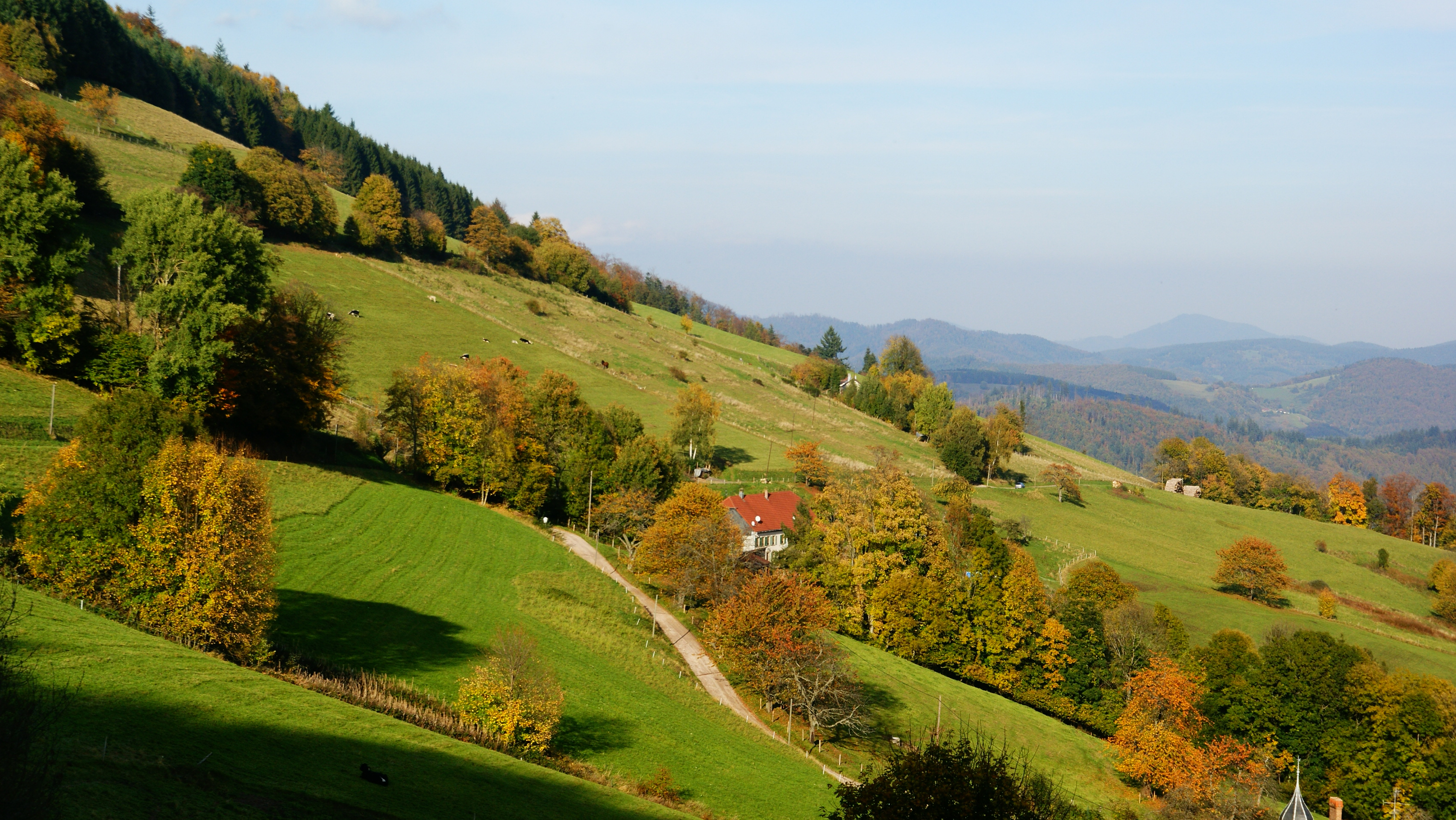
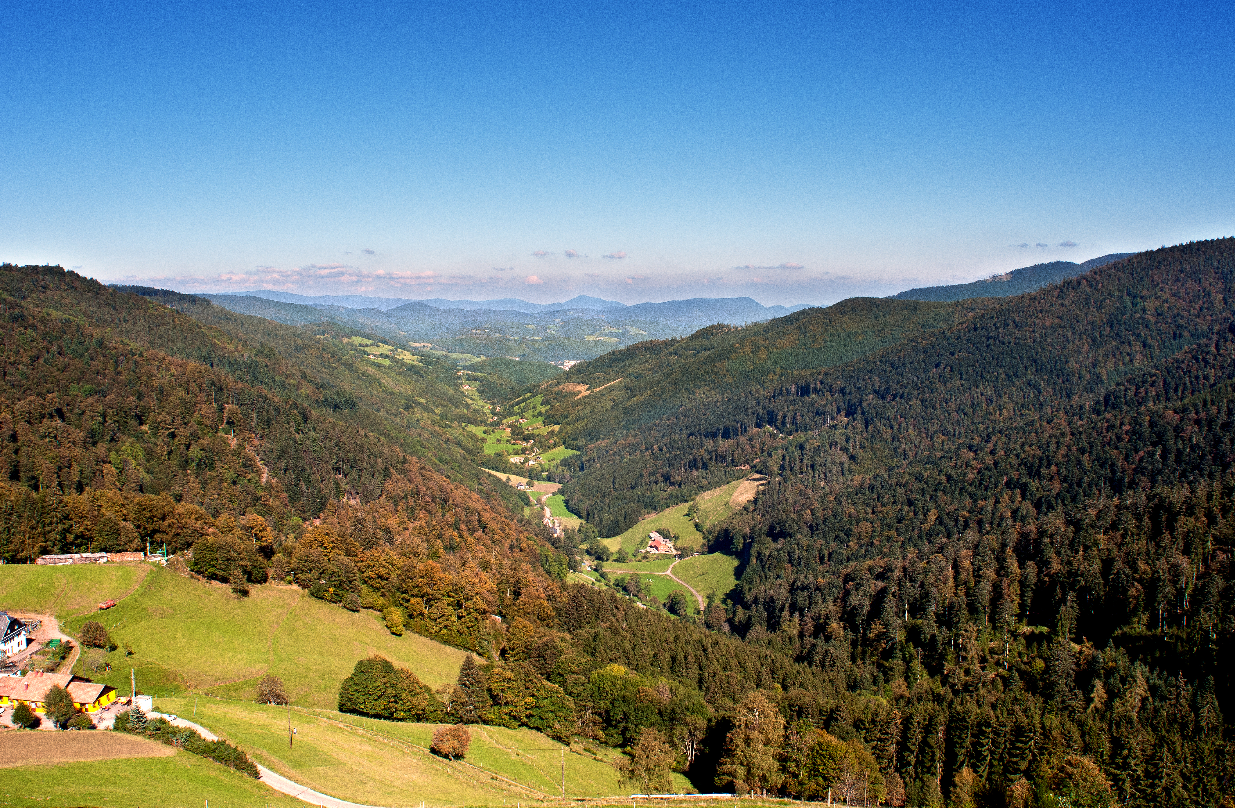
Located at an altitude of 903 metres, the col des Bagenelles gives you the best view of the valley. Stop in the Bagenelles car park to admire this breathtaking panorama.
You will love this viewpoint at any time of the year. In both the spring and summer, you can get some fresh air there and hike along the footpaths in the massif. In the winter, you will find yourself at the foot of the ski slopes and can do winter sports.
Tip: To have a clear view, however, try to go in good weather.
What is there to do in the local area?
Below the car park is the Auberge de la Graine Johé farmhouse inn. You can taste Marcaire dishes and regional specialities in natural and peaceful surroundings.
Going towards Sainte-Marie-aux-Mines on the left, just after Parc Minier Tellure, is the Auberge Les Bagenelles inn. Here you can enjoy excellent traditional dishes. Hostellerie les Bagenelles has a small farm that will appeal to young and old alike. Don’t hesitate to book in advance on +33 3 89 58 70 77.
How do you get there?
The pass is ten minutes by car from Sainte-Marie-aux-Mines, via the D48 which goes through the hamlet of Echery. It goes down to Le Bonhomme, which is situated 5 km below. A side road, the D148, leads to route des Crêtes via the col du Pré de Raves pass which rises to 1,005 metres.
La Côte d’Echery
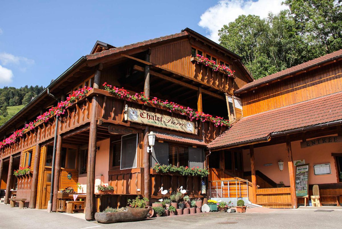
At an altitude of 700 m, in the great outdoors, enjoy this panorama at a table at the Chalet Pierre farmhouse inn. You will see the mountain of Neuenberg in front of you, which was exploited for its silver seams from 1549, as well as the valley of La Petite Lièpvre shaped by an old glacier. At Chalet Pierre, you can savour traditional Alsatian cuisine made mainly with produce from their own livestock.
In the low season, Chalet Pierre is only open at weekends and by reservation on +33 3 89 58 55 26. Open weekdays only for residents.
Tip:
To prepare for your visit, contact the Val d’Argent Tourist Information team!
We will be happy to plan your stay with you!
What is there to do in the local area?
Take a breath of fresh air in the great outdoors!
Put on your walking shoes and explore the hiking paths. Departing from La Haute Broque or the Tree of Liberty, follow sentier des abri, where dozens of WW1 blockhouses are scattered. Information panels tell you all about warfare in mountainous environments.
Are you completely sold? Do you no longer want to leave? You are welcome to extend your stay in the guest rooms of the Chalet Pierre farmhouse inn!
How do you get there?
On leaving Sainte-Marie-Aux-Mines go towards Saint-Dié-des-Vosges, after 700 metres turn left and follow the sign for 4.5 km.
Montgoutte: An Instagrammable attraction like no other
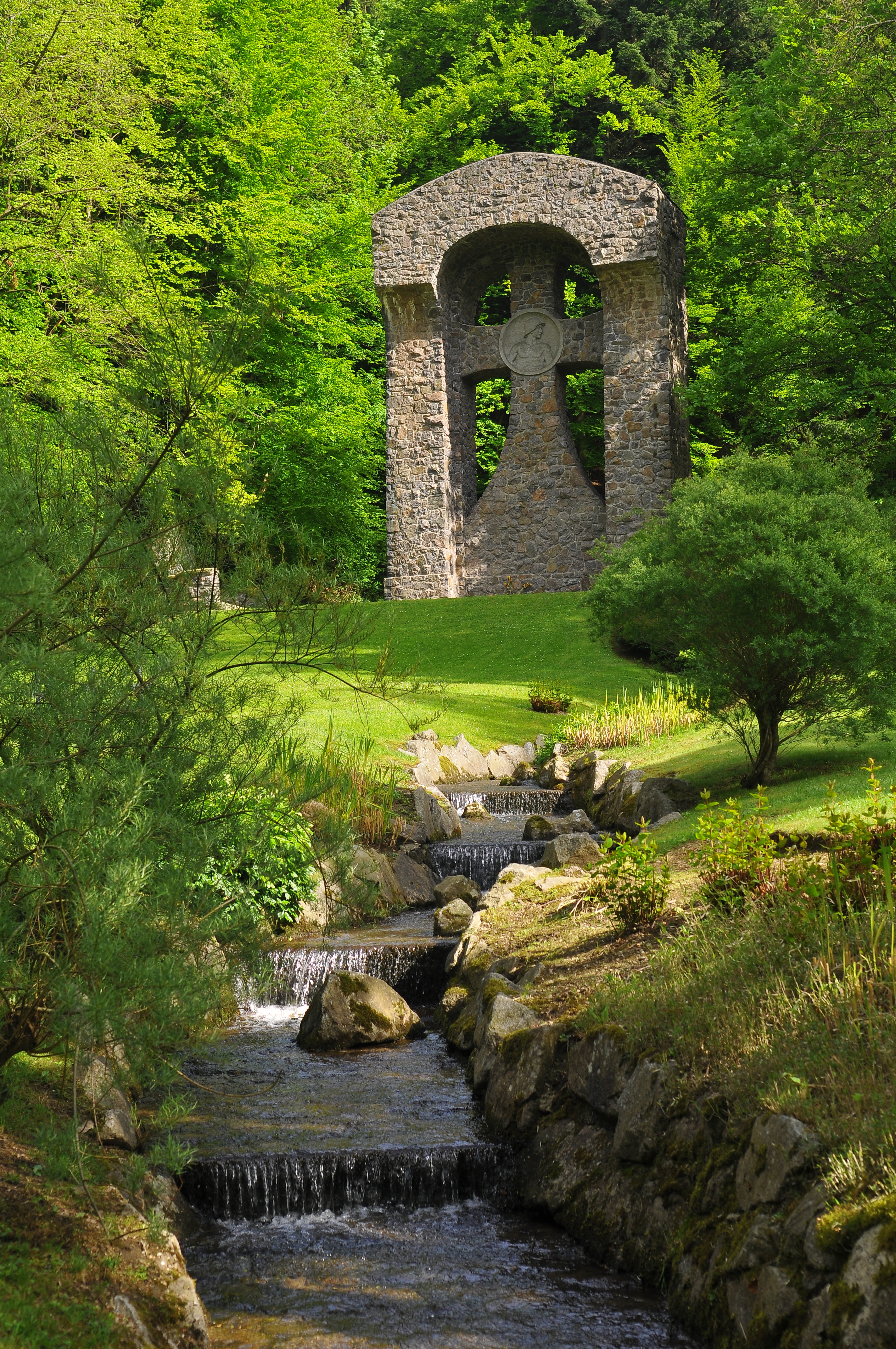
Nestled in the heart of a wooded valley, the Montgoutte military cemetery houses more than a thousand graves of German soldiers, resting in the shade of a war cross monument 12 metres high.
It was built in 1916–1917 by the German military authorities, to overcome the problem of the dispersal and maintenance of graves, while providing dignified burials for soldiers who died for their homeland.
This necropolis has a unique atmosphere, combining majesty, serenity and spirituality. In this green setting, history and nature come together and flow slowly through the seasons and the stream that runs through the place.
What is there to do in the local area?
Going towards Montgoutte, you must have seen the local food shop Corne et Carotte to your left. It offers a wide range of products which are rigorously selected for their quality. Get everything from the Val d’Argent in one purchase! Are you looking for local products as a gift or to treat yourself? Look no further: you’re in the right place!
Store open Fridays from 3 p.m. to 7 p.m. and Saturdays from 8:30 a.m. to 12 p.m.
The gourmet restaurant L’Atelier de Guillaume is located there, too. Fall for the charms of a neo-retro atmosphere, inspired by the Val d’Argent’s rich industrial and textile past. Go on a gourmet getaway in an intimate restaurant dining room which combines woodwork and bricks reminiscent of the atmosphere of the workshops of yesteryear.
Bookings on +33 3 89 22 37 08
How do you get there?
After crossing the roundabout near L’Atelier de Guillaume, head towards Sainte-Marie-aux-Mines. Then take the first left and drive along Saint-Guillaume Cemetery down the small tarmac road.
At the end of the tarmac road, take the track to the right. This track will lead you to a forest car park where you can park your car and discover the Montgoutte military cemetery.
Le Haycot
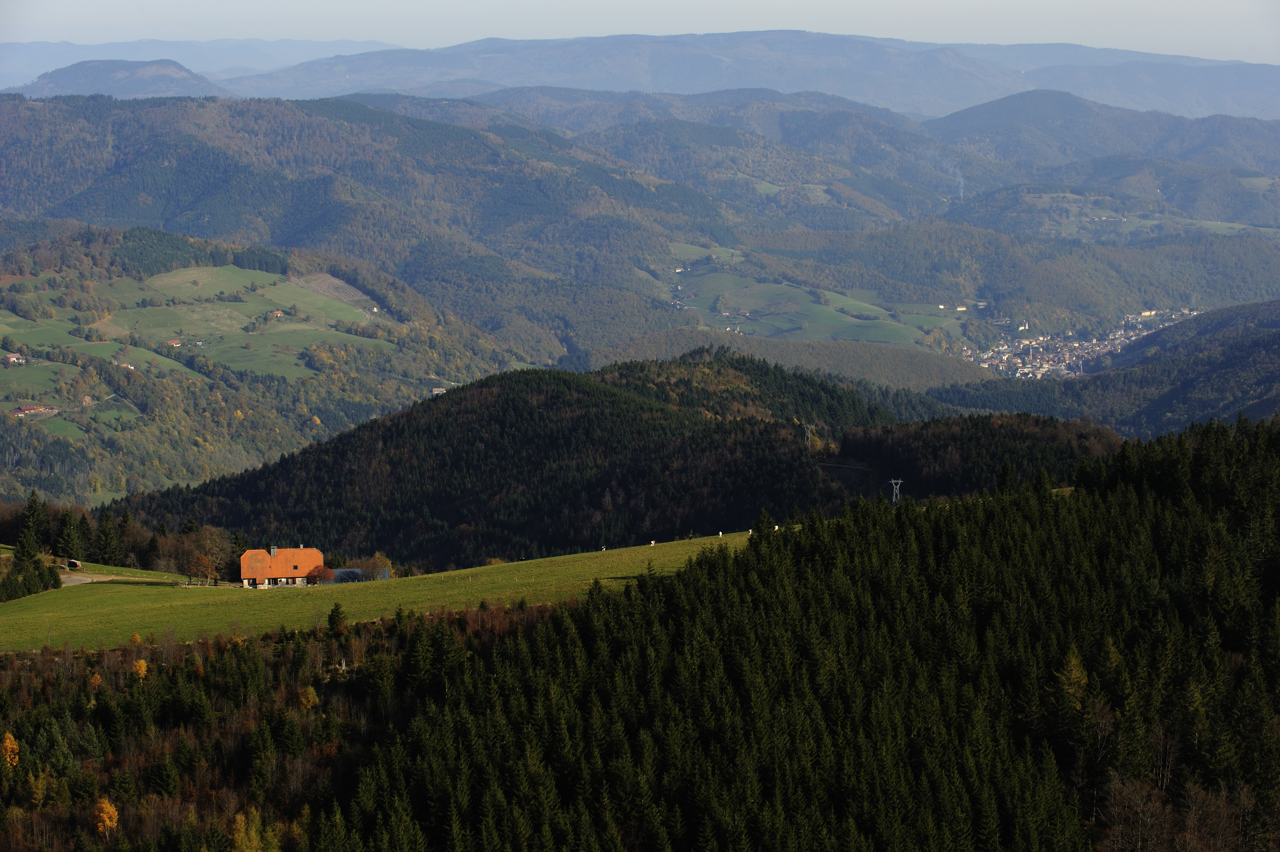
At an altitude of 1,085 m, Le Haycot is a breathtaking spot which is perfect for recharging your batteries while enjoying the fresh air. You will have a wonderful view of La Côte d’Echery and the blue line of the Vosges which stretches as far as the eye can see. If the sun is out, make sure you bring everything you need for a picnic!
Le Haycot is a former dairy founded by the Amish community. Resulting from the Anabaptist movement, the Amish community was founded by Jacob Amann in Sainte-Marie-aux-Mines in 1693. It promotes community life, frugality and an austere way of living which is set apart from society. In accordance with their religious doctrine, the Amish settled on the heights of the Val d’Argent to develop mountain farming there. Expelled in 1712, the Amish then found refuge in Pennsylvania. Farmers from neighbouring valleys took over their farms, and they gradually became farmhouse inns, with the rise of mountain tourism in the second half of the 19th century.
Tip: The hiking guide (topoguide) containing the details of this hike and 17 others in the Val d’Argent awaits you at the tourist office!
What is there to do in the local area?
Below the Auberge du Haycot inn, the hike Le Massif du Brézouard begins.
Leave your car and go for a walk!
This 6.2 km circuit does a loop starting from Le Haycot before passing through the mountains of Le Petit Brézouard and Le Grand Brézouard before returning to the starting point.
How do you get there?
Go up rue Wilson and follow the D48 for 12.3 km. When you reach the Bagenelles car park, turn completely left onto the D148, then take a slight left onto chemin du Haycot.
Auberge de Sobache
Nestled on the heights of Sainte-Croix-aux-Mines, the Auberge Du Sobache farmhouse inn is located in the heart of the Val d’Argent mountains and offers you a lovely view to admire from the terrace. With a little luck, you will be able to see the deer which come up to Auberge Du Sobache to feed!
Further down, you will see the village of Sainte-Croix-aux-Mines. This village developed with silver and coal mines from the 16th to the 18th century, then its textile industry and its tobacco factory in the 19th century. In addition to its industrial character, the town is still in a rural setting, with the development of mountain farms that you can see on the horizon.
Tip: In the event of snow, you will need equipment to access the inn. Be careful, as the road has not been tarmacked. Watch out with vehicles that are too low.
What is there to do in the local area?
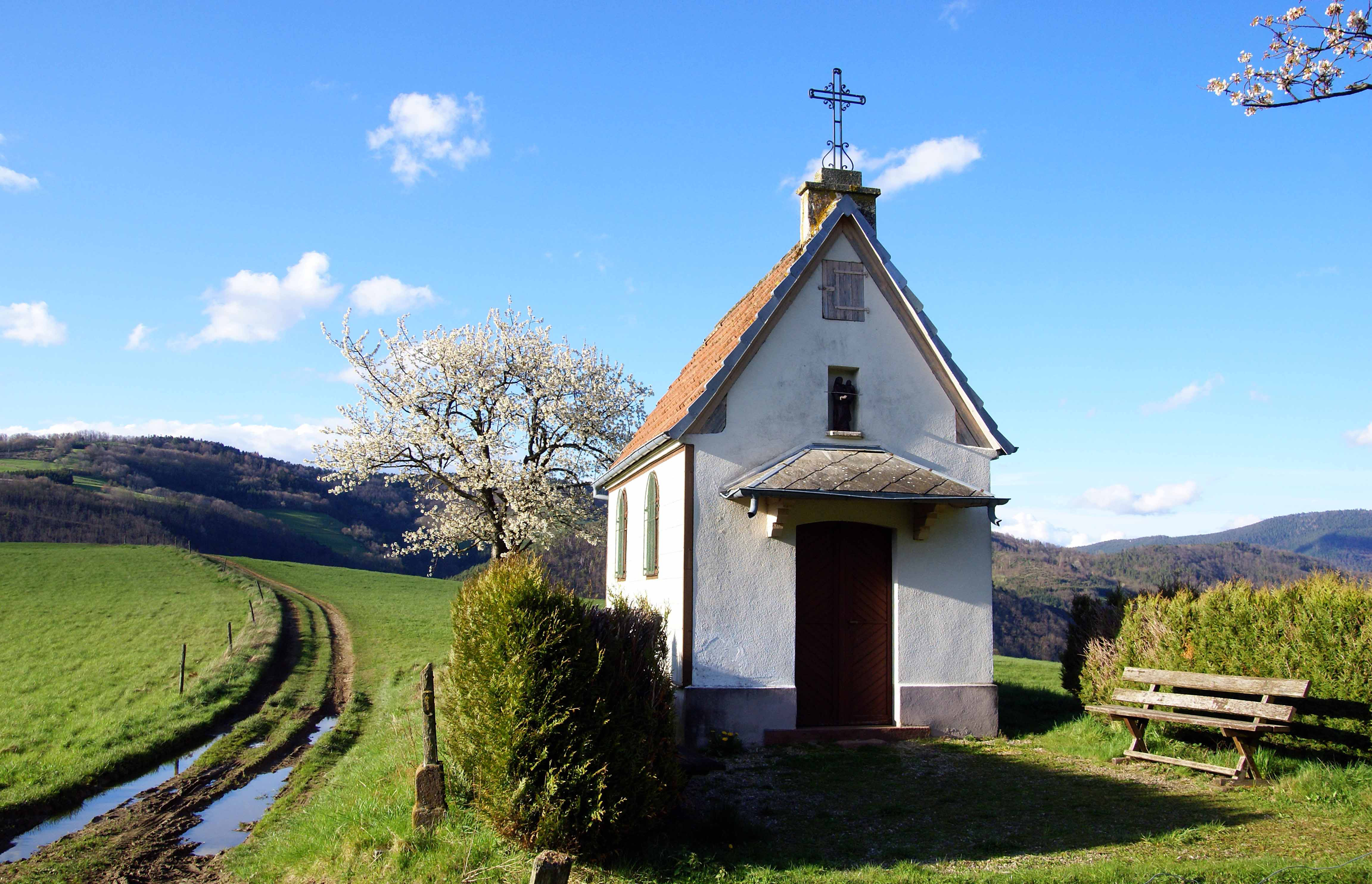
Going down rue du Sobache for 600 m, you will see a path on your right. Follow this path for 150 m until you fall under the spell of the little chapel, Hajus and its green surroundings. From the chapel, you can access the Hajus military cemetery, where the French soldiers who fell during the First and Second World Wars are laid to rest.
How do you get there?
Take the direction of Sainte-Croix-aux-Mines, D459. Go down rue Maurice Burrus for 5 km towards rue de la Gare. Turn left onto rue des Coccinelles. Turn right onto rue de Sobache and stay on rue de Sobache for 750 m. Turn completely to the right until you get to 40 Lieu-dit Sobache.
Have a picnic by the water
Whether you are travelling by bike, rollerblading or on foot, the Val d’Argent cycle route – which follows the route of the old Sélestat/Sainte-Marie-aux-Mines railway line, which ran from 1864 to 1980 – is a very nice one to take!
On your journey, you will pass through two villages in the Val d’Argent: Sainte-Croix-aux-Mines and Lièpvre. You will be amazed by the beauty of the landscapes you see on your trip. Whatever the season, you will be charmed!
You will also enjoy the particularly rich flora and fauna. When the season allows, stop for a few moments to watch the bees coming and going from their hives. Stay on the lookout – you might be able to see a deer or doe.
In the distance, you can see the Château du Haut-Kœnigsbourg, whose keep watches over the Alsatian plain and valleys.
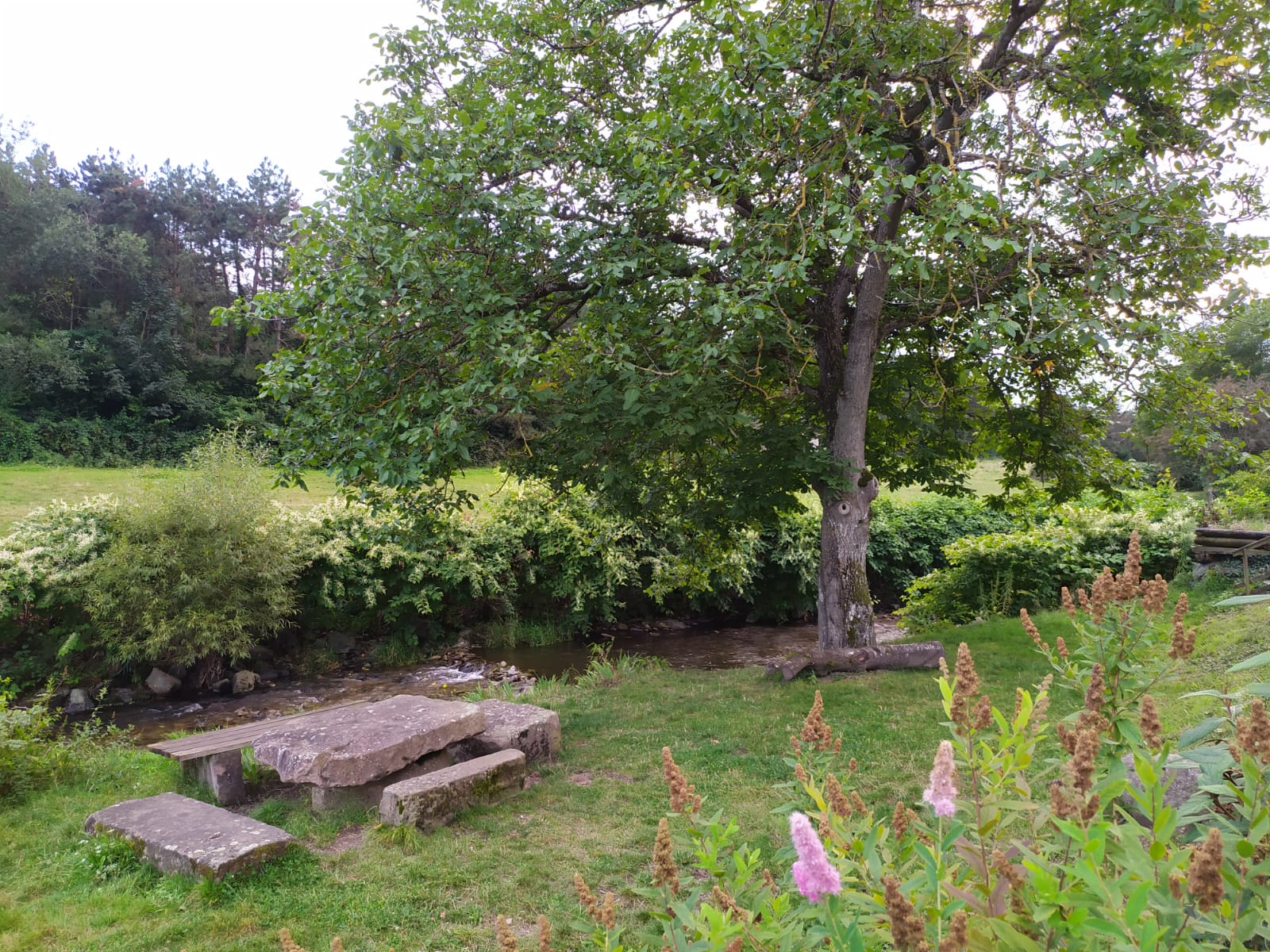
Feeling a bit tired or need to stop for a bite to eat? Take a well-deserved break at the picnic spots interspersed along the cycle path. The most bucolic one is found in Lièpvre, at rue Robert Guth, and overlooks the River Lièpvrette which crosses the village. It’s a real little hideaway by the water! The table and benches are carved out of the stone, lending an undeniable charm to this place.
Tip :
Feel free to rent electric bikes from our partner Mountain e-motion in Sainte-Marie-aux-Mines. Prices from €39.99 per day. Helmets, locks and repair kits provided. Bookings on +33 6 19 99 37 64
Handy information :
A self-repair station for bikes can be found along the cycle path, near the information panel in the Lièpvre HGV car park.
How do you get there?
This cycle route (VV31 in Haut-Rhin and cycle route 42/IC42 in Bas-Rhin), starts in the Saint-Blaise area in the commune of Sainte-Marie-aux-Mines and ends on the RD424 in the Val-de-Villé valley (where the commune of Châtenois is located), near the level crossing. To reach the start, head towards Sainte-Croix-aux-Mines, stay on the D459 then turn right onto rue du Moulin.
Rocher des Reptiles
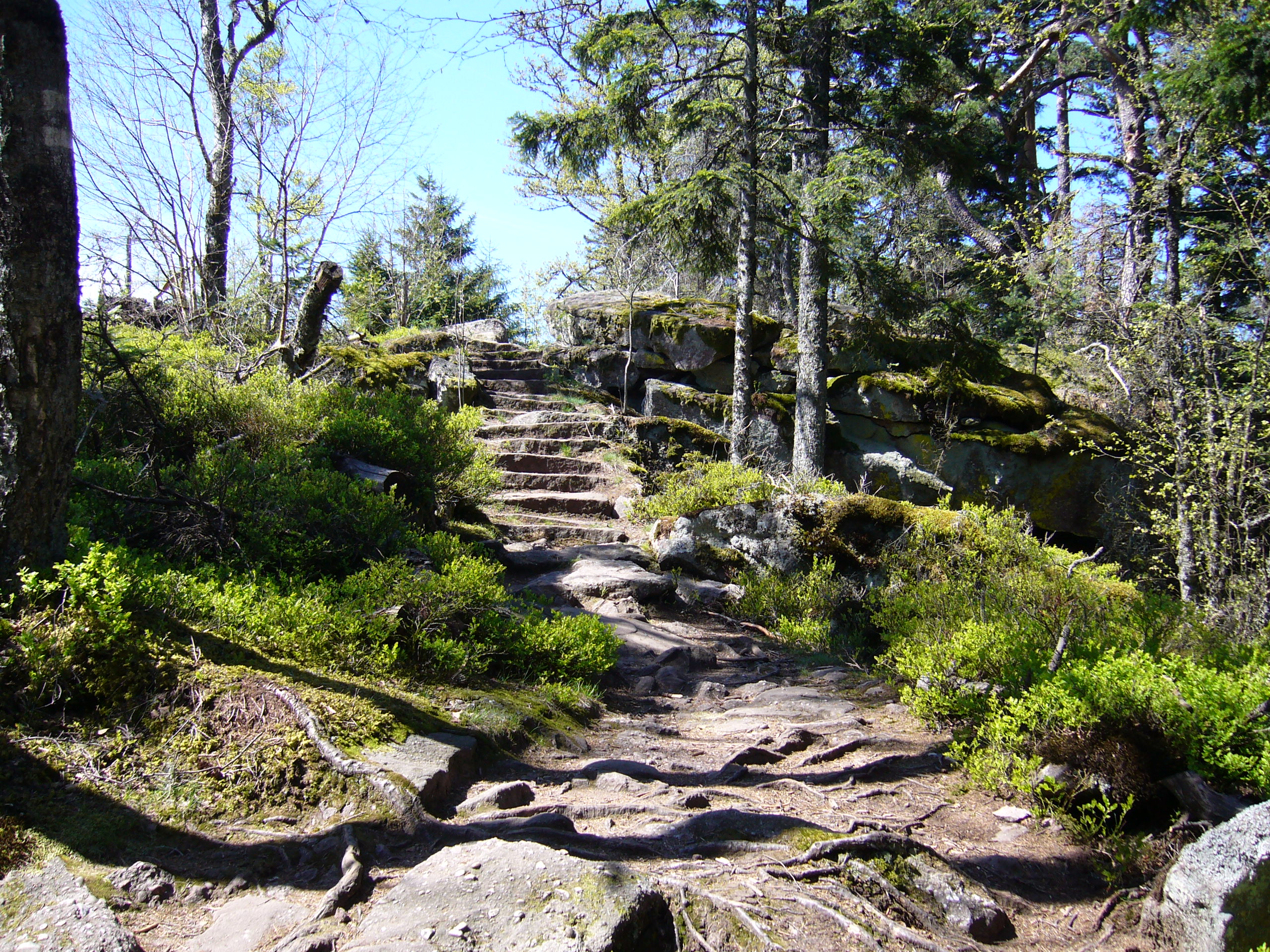
The Taennchel massif is a mountainous plateau, whose sandstone rocks have been sculpted by rain and winds over time.
These mysteriously shaped rocks fascinated the local population, who gave them evocative names: les Rocher des Géants (Giants Rock), Des Titans (Titans) and Trois Tables (Three Tables) suggest the existence of a people of giants, fairies and fantastic beings which have occupied the land since time immemorial.
Rocher des Reptiles is in the shape of a crocodile frozen since the dawn of time. From its summit, which rises to 954 metres, you can take in a fantastic view of Sainte-Croix-aux-Mines, Lièpvre and Rombach-le-Franc, which extends to the mountain of Chalmont and Rocher du Coucou.
Tip :
From Rocher des Géants, the path branches off towards the south, towards Rocher Bellevue where the view includes the Alsace plain and the Château du Haut-Kœnigsbourg.
What is there to do in the local area?
Continue your walk on the Taennchel massif and take in the fascinating and mysterious local atmosphere. The strong telluric currents, which traverse the mountain range, will give you a boost of energy.
How do you get there?
Drive up to the col de Ribeauvillé pass and follow the road towards Ribeauvillé. Before the descent to Ribeauvillé, park your car in the earthen car park. From there, a path will take you to the Taennchel massif in around one and a half hours.
Chemin du Blumenthal
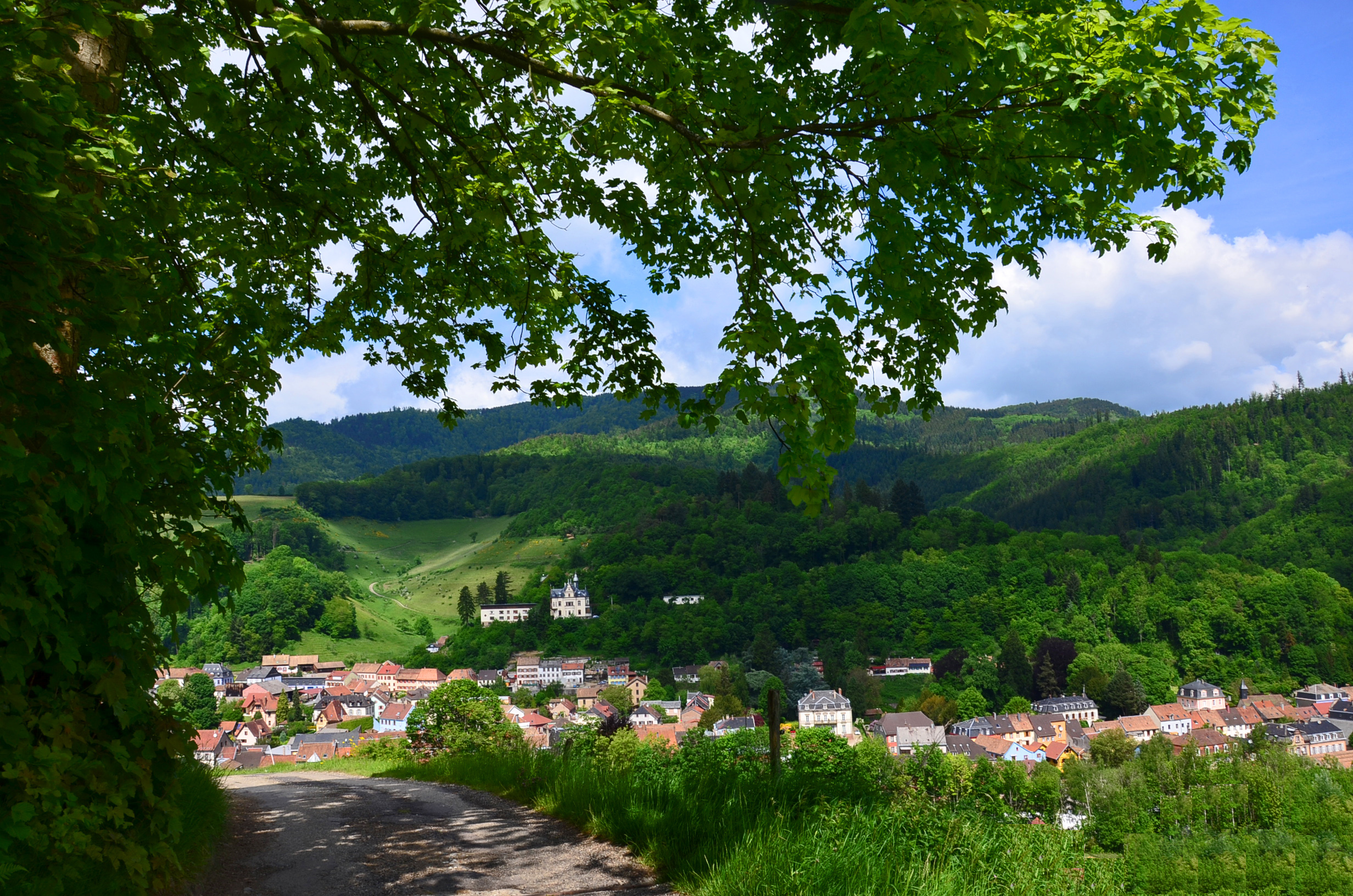
Gain some height to explore Sainte-Marie-aux-Mines from a new angle. Starting at a crossroads upstream from the Reformed church, chemin du Blumenthal offers a lovely unobstructed view of the urban landscape of Sainte-Marie-aux-Mines, nestled in its mountainous setting.
The enormous house that you can see before you on the mountain, La Croix de Mission, is a mansion built around 1900. After that it became a holiday camp for mountain boarding, then was converted into a gite in the 1990s.
On your right, you will see a colossal brown cube. It houses the Maurice Lemaire tunnel ventilation plant in the Halles area. Built in 1933–1937, this railway tunnel was transformed into an underground war factory by the Nazis where almost 2,000 deportees worked. From 1973, the tunnel was altered and opened to road traffic in 1976, making the Val d’Argent a major communication hub between the Vosges and Alsace.
Tip :
The route is accessible on foot or by mountain bike. Make time for regular breaks to observe your surroundings!
What is there to do in the local area?
You can continue along chemin du Blumenthal, which offers you a rustic and shaded route gradually climbing up the mountain.
In front of the farmhouse, you will see a mine entrance reinforced with bricks, from which water was taken to supply a drinking trough. At the large crossroads with several paths situated in a very tight bend, take the flat path on your right, which will lead you to the La Bourgonde valley.
All along the route, you will see hollows or depressions in the shape of funnels dotted around the landscape: they are from the old medieval mine shafts dug vertically from silver seams from the 10th to the 16th century! When you arrive at La Bourgonde, go down the tarmac road to Fertrupt, then come back via the cherry trees path, and chemin Saint Michel.
How do you get there?
Park your car in Place Laure Diebold Mutschler, and walk to the Reformed church. Go along rue de la Liberté, which goes up behind the church. After about 200 metres, you will come to a crossroads. Take the path going up on your right opposite you for around 300 metres, and enjoy a beautiful view over Sainte-Marie-aux-Mines.
La Villa Burrus
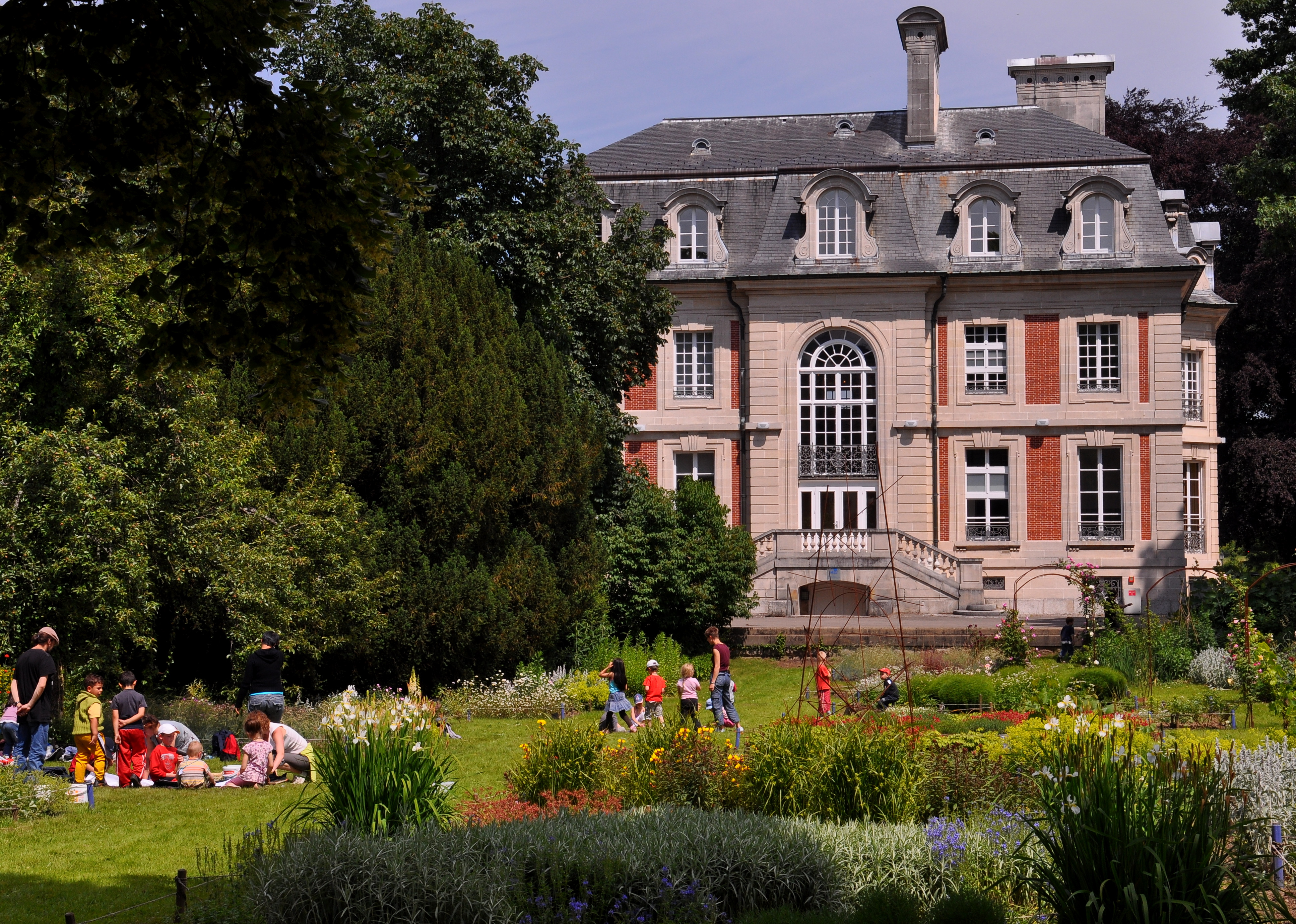
Built in the 1930s, La Villa Burrus is bordered by a botanical park covering over three hectares, which includes several dozen tree species and themed gardens (aromatic and medicinal plants, a vegetable garden and rose garden among other things). In the summer season, a local market is held there every Tuesday, bringing together local artisans who sell countless sweet treats to taste on the spot or take away.
This villa was the patron saint of André Burrus. He and his cousin Maurice Burrus ran a tobacco factory in Sainte-Croix-aux-Mines from 1906 to 1947. After his death, the house was transformed into a regional music house opened in 1976 and then became an inter-municipal media library which was unveiled in 2004. The media library houses all of the cultural services of the Val d’Argent Community of Communes.
Tip :
Book your guided tour on +33 3 89 58 35 91
What is there to do in the local area?
Access to La Villa Burrus is free. You can look around the park by yourself or accompanied by a Val d’Argent Pays d’Art et d’histoire guide, who will offer you a guided tour if you book beforehand. In the summer, the park beats to the rhythm of cultural and food events, such as the musical picnic, the farmers’ market, the European Patchwork Meeting and the soup festival. The media library organises numerous activities on site throughout the year.
How do you get there?
The entrance to the park is located opposite building no. 8 on rue de la gare in Sainte-Croix-aux-Mines. Parking is available at the entrance and within the park grounds.
Chapelle de la Goutte du Prince
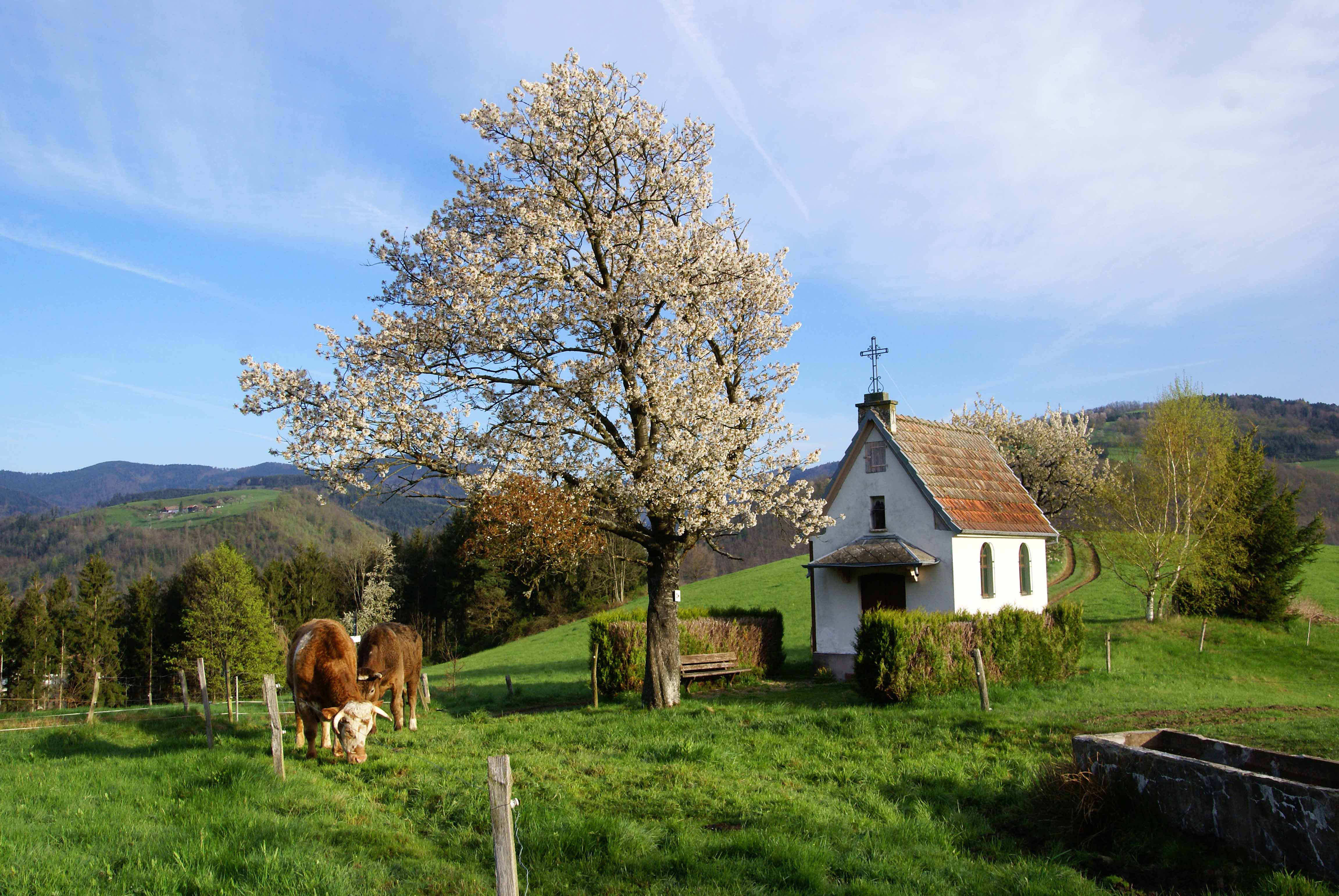
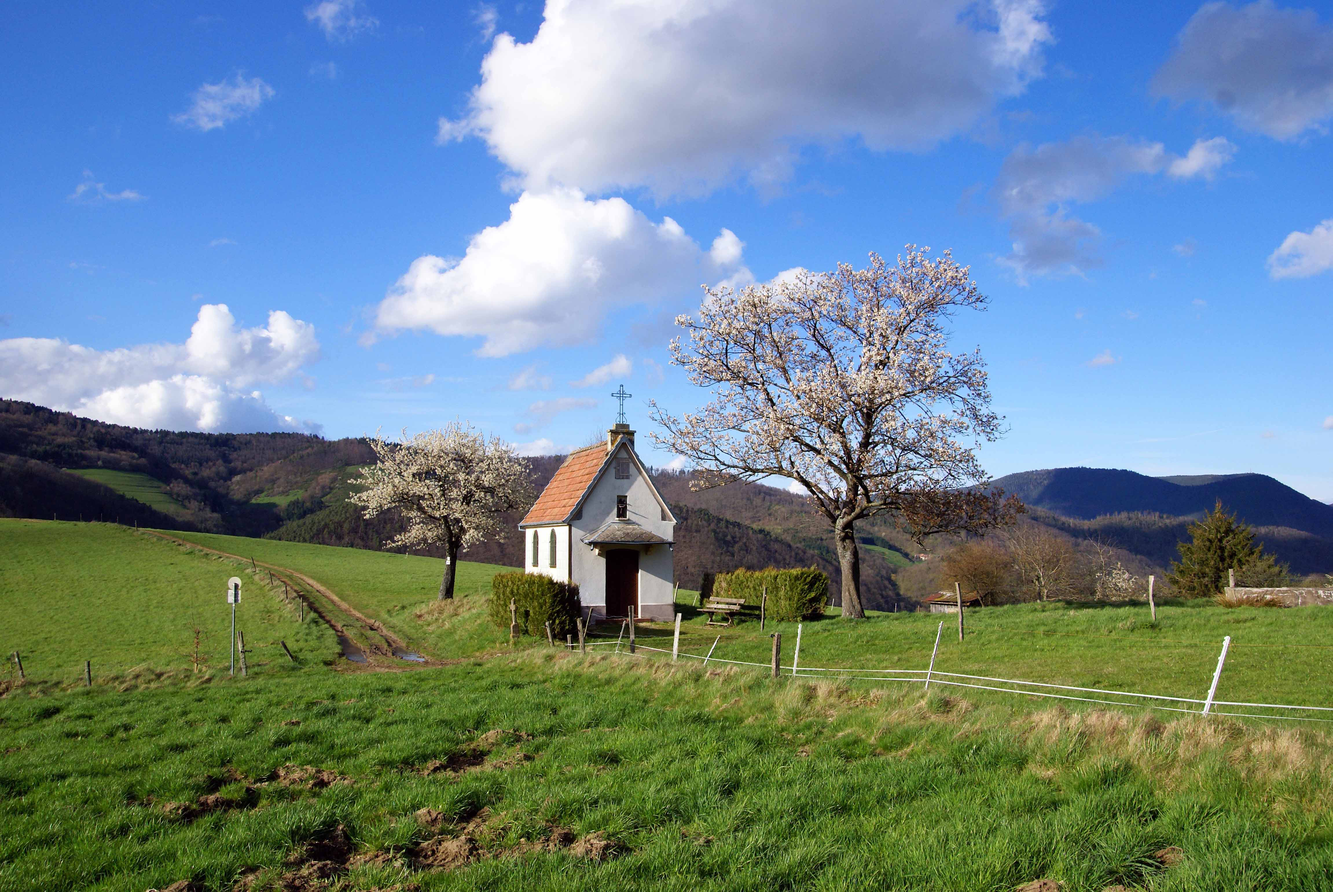
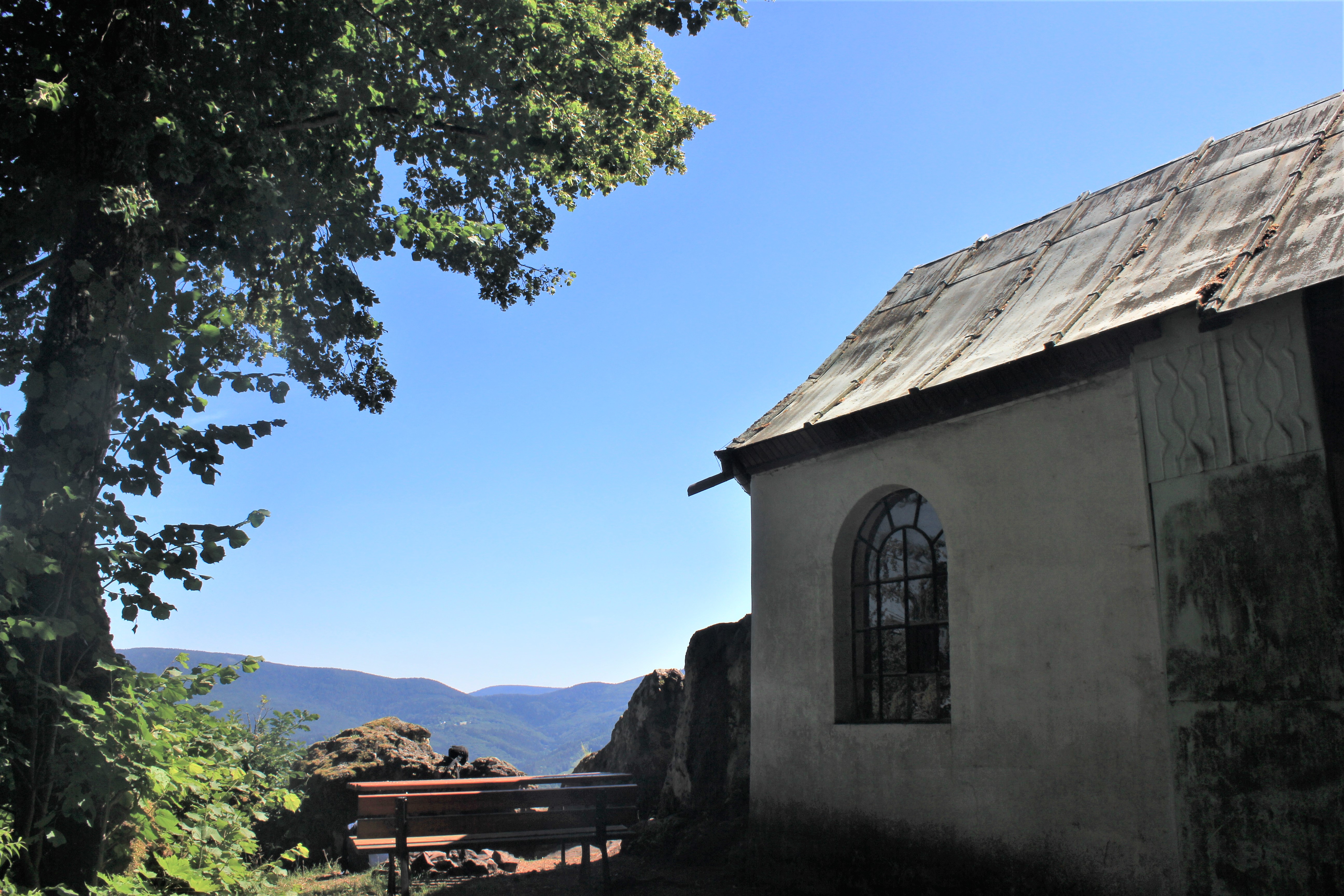
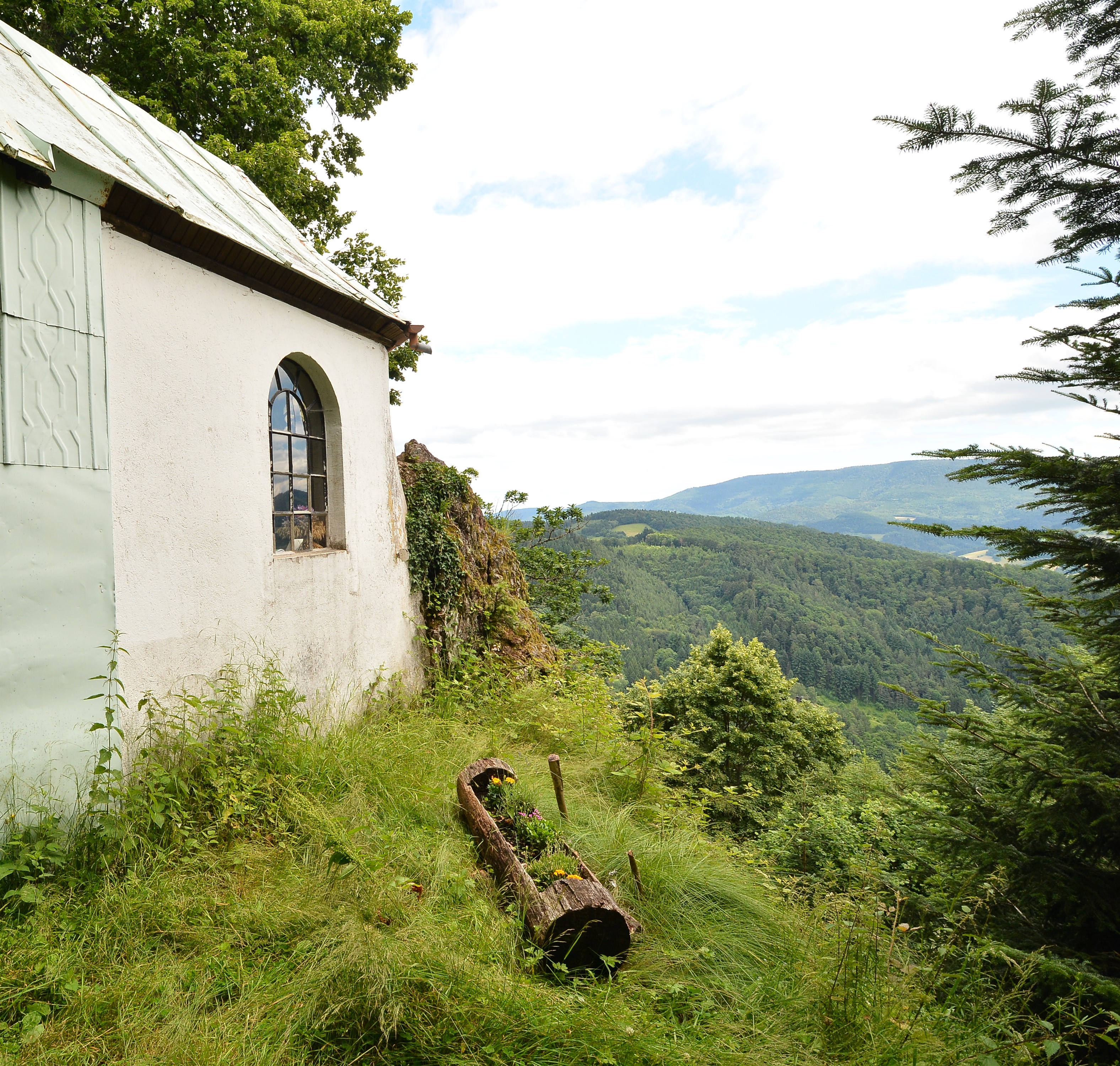
Nestled in the heart of the forest, the Chapelle de la Goutte du Prince chapel offers a stunning view of the Grand Rombach valley and Sainte-Croix-aux-Mines. There is also a picnic area where you can fully enjoy the fresh air.
A route around 7.4 kilometres long, or a walk of roughly 2h15, takes you to Chapelle de la Goutte du Prince in Sainte-Croix-aux-Mines.
About 2 km from the Creux Chêne crossroads, this small chapel was once a place of pilgrimage from the 18th century, to treat diseases linked to gout. During the French Revolution, it served as a place of worship for the recusant priests, who had refused to swear allegiance to the revolutionary government.
Conseil :
To prepare for your trip, just pop in to the tourist office to get a Randonnées du Val d’Argent hiking guide (topoguide).
Hiking guide sold for €5
What is there to do in the local area?
From Chapelle de la Goutte du Prince, you can go towards Marigoutte and Danigoutte, where Vosges mountain farms were built.
You can also go to the Creux Chêne crossroads, and from there towards La Chambrette, which offers lovely green surroundings interspersed with a number of Vosges farms.
How do you get there?
To get to this chapel, first you have to go via forest paths to Creux Chêne, a pass at an altitude of 580 metres where the Vosges Club rambling organisation has built a chalet.
From there, take the forest path in the direction of Danigoutte (to the west) for 1.8 kilometres. You will find yourself in a bend forming a platform, which is convenient for turning and parking. On foot, take the marked path on the right for 300 metres which leads to the chapel.


